


Late fall tornado out of ordinary, but not unprecedented
Following severe thunderstorms, a tornado swept through central Illinois Sunday and came as close as six miles south of Charleston.
However, with the severe weather passed, winter weather is on its way.
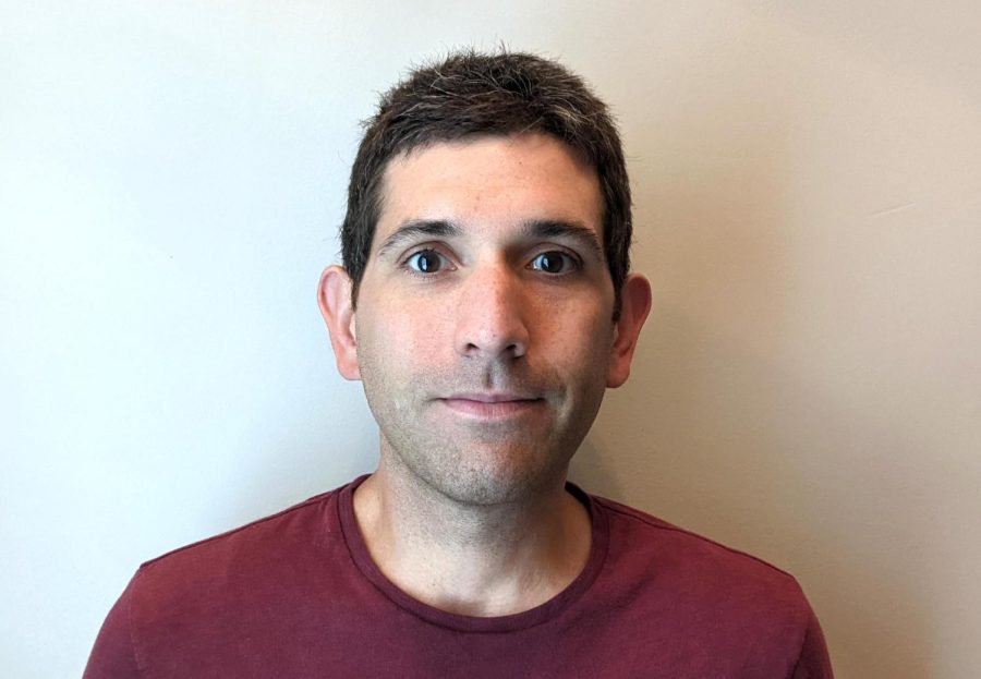
The tornado came during a season that usually doesn’t see many tornadoes but was caused because of the clashing warm and cold fronts, said Dalias Price, local weather observer.
Price said tornadoes are unusual for this time of year, but late fall is the “secondary tornado season,” next to spring. The two seasons both have many clashes between warm and cold fronts going in and out of the winter season.
The National Weather Service in Lincoln issued the warning in the late morning for Coles, Clark, Cumberland, Douglas, Edgar and Vermillion counties, but the tornado never touched down.
Charleston did see heavy rainfall that came in two severe thunderstorms. The first started about midnight Saturday continuing through the early morning hours Sunday, and the second came at the noon hour Sunday and continued through the early afternoon.
Overall, there was over two inches of rainfall throughout the day, which is a new high since May, Price said.
“This has been quite a day,” Price said. “We really needed that rain.
“Mid-Illinois typical weather,” he said.
The rains caused some flooding in parts of the city, and particular areas, such as the southeast region near Lake Charleston, had more rain then others.
After the rain Sunday, Price said weather is expected to follow typical November weather with temperatures in the 30s to 50s.
Throughout the week temperatures should mimic Price’s prediction with highs and lows ranging from the 30s to mid 50s.
Also for the week are a chance of rain on Thursday and a possibility of snow for Friday, according to the National Weather Service Web site.