Weather expected to be erratic
November 12, 2014
Charleston and surrounding areas should expect more erratic weather for the rest of the month with unusually high and low temperatures throughout and an above average amount of precipitation.
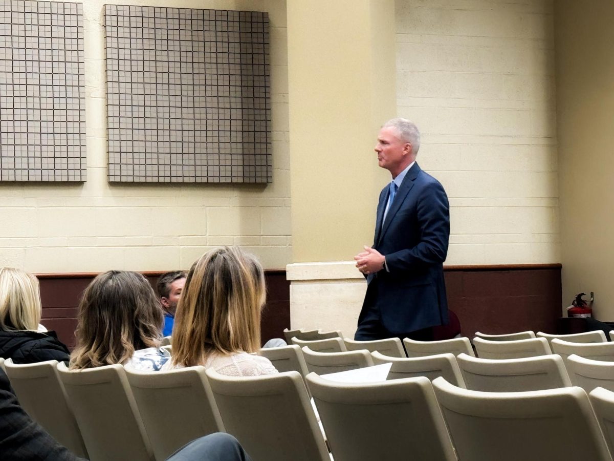
Eastern Climatologist Cameron Craig said since the Jetstream is currently weaker with no clear signs of strengthening, cold air from the arctic regions up north have been able to seep down south.
When the Jetstream is weak, it is more active allowing for more abnormal weather patterns in various regions.
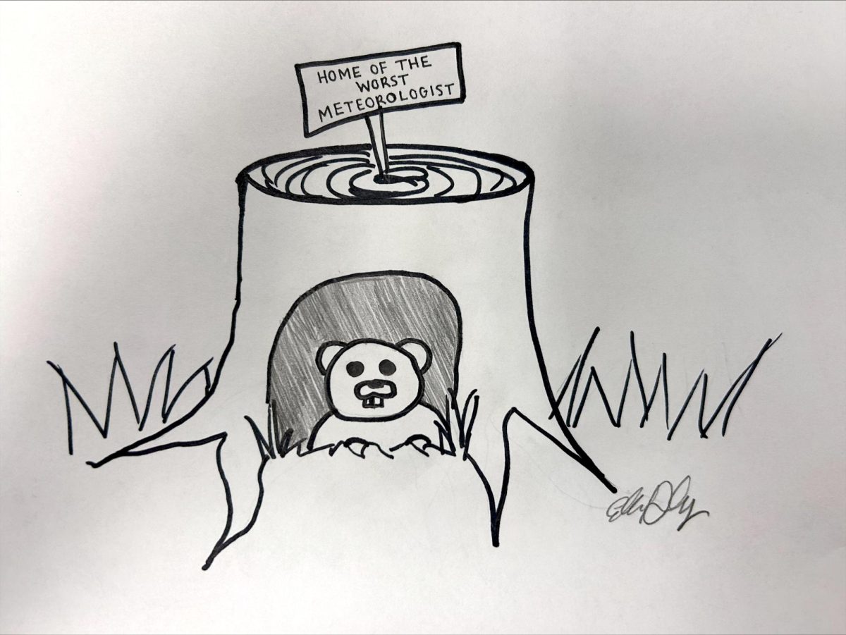
“The Jetstream is acting up again,” Craig said.
Craig said the polar vortex now has had the ability to reach southern areas, giving Charleston below average temperatures like on Tuesday. Craig added when the area sees warm temperatures after a period of cool temperatures, cool temperatures are expected to bounce back into the fray.
“It is an active situation,” Craig, “You’re definitely going to see a swing back into the cold.”
Craig said while students, faculty and staff will be seeing a slightly larger amount of precipitation in November, the following two months are expected to have slightly lower than average temperatures and below average precipitation.
He added as long as we get a good amount of precipitation through snow and rain right before planting season, this should not be worrisome winter for farmers and in turn community members at large.
While there are expectedly lower temperatures for the future, Craig said the 3-month forecast is at a climatological normal.
He also said the most important thing students and community members should do is prepare for a cold winter now.
“When the temperatures are hanging around in the 30s, below 55 degrees, wearing flip-flops do not help out any situation,” Craig said.
Jarad Jarmon can be reached at 581-2812 or [email protected].


