


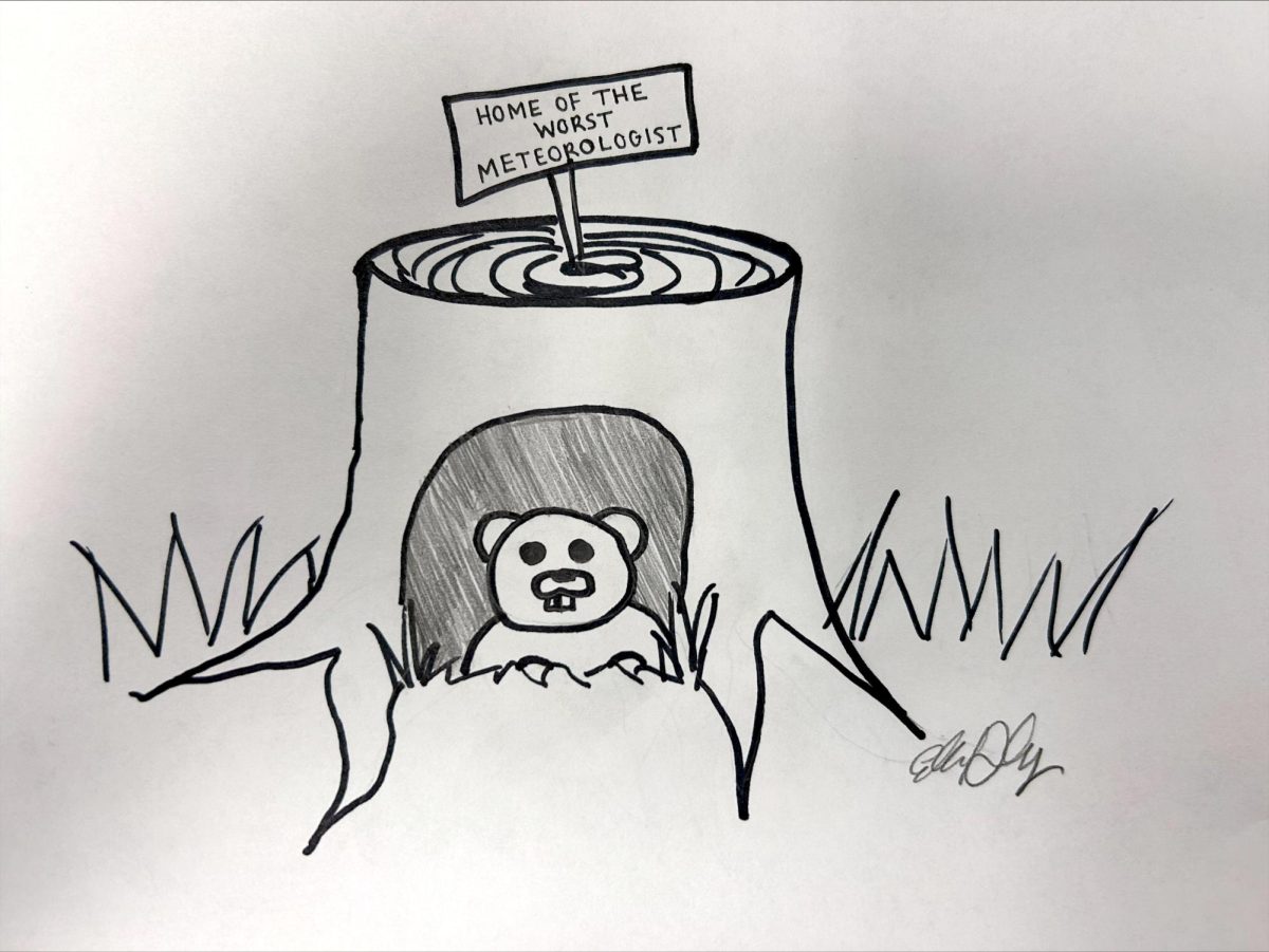


Unpredictable weather a result of moving air masses
The unpredictable weather conditions that Charleston residents have been seeing lately are a result of quickly moving air masses throughout the Midwest.
“This is related to how the air masses move in rather rapidly,” said Dalias Price, local weather observer.
Sunday, the mid-afternoon temperatures reached a high around 54 degrees, the warmest temperature in Charleston since Nov. 12, 2000. Later that day, however, temperatures dropped rapidly, causing snow flurries with no accumulation, Price said.
The Midwest receives a mixtures of air masses from different parts of the country, causing the sometimes drastic changes in temperature.
Central Illinois catches the cold fronts that move in from Canada and Alaska as well as warm fronts from mostly the Gulf of Mexico, Price said.
Although the weather conditions in the Midwest seem sporadic, New England actually has the most unpredictable weather in the nation, Price said. New England experiences drastic differences in high and low pressure areas that cause drastic fluctuations in temperature.
“Our weather is changeable alright, but nothing like New England,” Price said.
The temperature today will remain in the 30s throughout the afternoon and be in the 20s in early morning and later at night, Price said. Charleston should have a break from the rain today, he said.
Throughout the rest of the week, temperatures will remain in the 30s during the day, and there will be some precipitation in the form of rain. There may be some snow later in the week, but probably not enough to cause any amount of accumulation, Price said.
In the wintertime, it is difficult to predict how much cloud cover a town will experience because it is typically intermittent throughout the day, Price said. In the summertime, clouds usually do not accumulate until the afternoon, but in the winter, there are no rules about when clouds will accumulate.